
UN Backs Fairer World Maps
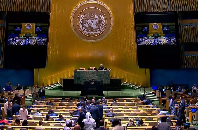
The United Nations General Assembly voted 164 to 1 on Friday to encourage governments, schools and technology companies to stop relying on maps that shrink Africa’s apparent size relative to land nearer the poles.
Togo, speaking for the African group, sponsored the non-binding resolution after an African Union campaign against the Mercator projection, drawn in 1569 so sailors could plot constant compass courses as straight lines. That convenience stretches area as latitude rises. Greenland can look roughly the size of Africa, though Africa is about 14 times larger. Northern Europe and North America are similarly enlarged compared with equatorial regions.
The text does not ban Mercator or name a single official map. It urges equal-area projections, including Equal Earth from 2018, when relative size matters, and asks educators to teach that every flat map distorts a sphere. Togo’s foreign minister, Robert Dussey, told the Assembly that maps shape education and collective perception. “A fair map does not change the geography of the world, it changes how we see the world,” he said.
The United States cast the only no vote. Its representative called the measure part of a “radical ideological project,” objected to language on reparations and “cognitive justice,” and said such texts distract the institution from peace and prosperity. Six countries abstained: Estonia, Georgia, Lithuania, Moldova, Serbia and Ukraine.
Ukraine said it supported correcting distortions that affect Africa but objected to how some Equal Earth maps depict territory occupied by Russia. Ireland, speaking for the European Union, which voted yes, stressed that the resolution concerns only relative land area and does not touch sovereignty or recognised borders. France announced the same day that it would drop Mercator for official world maps, even though that choice makes France itself look smaller beside equatorial countries.
Friday’s vote gave near-unanimous political backing to an argument African governments have pressed for years: that a 16th-century sailing chart should not be the default picture of the world in classrooms and on screens. Whether ministries, publishers and map platforms actually switch will decide if the resolution changes what people see.
